No Products in the Cart
[Webinar] ScoutDI: Revolutionizing Confined Space UTM Inspections. Register Now
Call Us: +1 866 300 9012
contact@measur.caCall Us: +1 866 300 9012
contact@measur.ca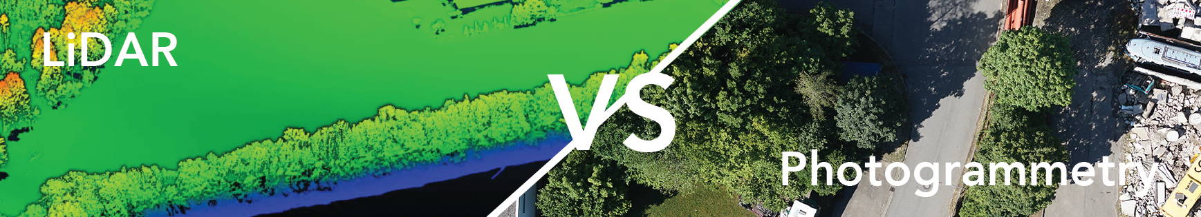
Land surveying is an essential practice in many different industries, including construction, engineering, and environmental conservation. While there are different techniques that surveyors can use to collect data, two of the most common aerial technologies are photogrammetry and LiDAR. Both photogrammetry and LiDAR provide their own unique strengths and limitations, however there are several advantages to LiDAR data that may benefit users depending on their environment, desired deliverables, and more.
One of the primary advantages of LiDAR is its accuracy in difficult terrain. LiDAR uses lasers to measure distance, which allows it to produce highly accurate data with a precision of just a few centimeters. In contrast, photogrammetry relies on the overlap of multiple photographs to create a 3D model of the land, which can be less accurate due to the distortion that can occur when the images are stitched together. However, it is important to note that on clean, bare surfaces, fine-tuned photogrammetry data can provide better absolute accuracy than UAV-LiDAR.


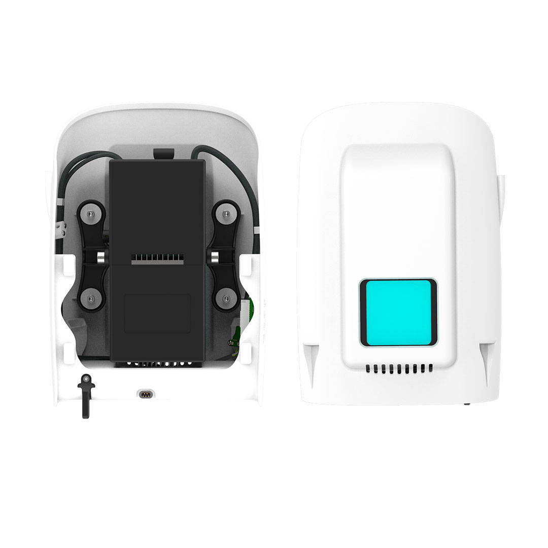
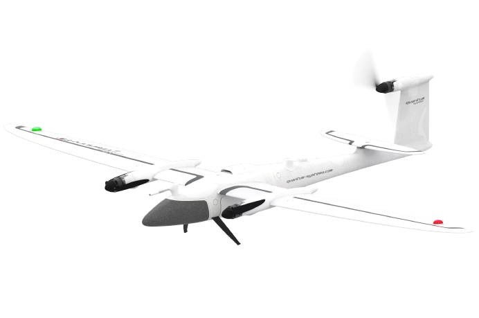
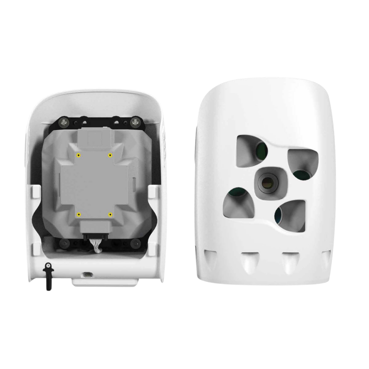
The key advantage of LiDAR over photogrammetry is its ability to penetrate vegetation in difficult terrain. In LiDAR, lasers are sent from your payload and is then reflected off objects such as objects and trees. This reflected light is then returned to the payload sensor and the time is recorded to calculate distance travelled and location in the world. This is hugely advantagous in areas with thick vegetation where each pulse has a set number of returns (dependent on sensor) and thus has more opportunity to hit the ground and return to your sensor, giving you an accurate X,Y, Z location of the ground. For example the Qube 240 LiDAR payload features:
- Precision of 1.8-2.5 cm, accuracy: <3 cm
- Scanner FOV: 70°
- 240,000 shots per second
- Point density @ 100m: 50-100 points/m²
- Multi-echo technology: 3 echoes per shot
Photogrammetry, on the other hand, relies on visible light, which can be blocked by vegetation, making it less effective in these types of environments.
LiDAR is also faster than photogrammetry and can often provide more data points per square meter in certain environments. While both techniques require a significant amount of data processing, LiDAR is generally faster because it generates a large amount of data in a short period of time. This can be especially useful when surveyors are working on tight deadlines or in large areas. It is important to recognize that although LiDAR does not need the same initial computational processing as photogrammetry does, there are still several computer algorithms that must be run on the data to maximize accuracy and data quality.
Finally, LiDAR is more flexible than photogrammetry in terms of use cases. It can be used in a variety of different environments, including urban areas, forests, and even underwater (Green LiDAR). LiDAR can also be used in any light condition since it does not rely on visible light to get data. Photogrammetry, on the other hand, is limited to visible light and cannot be used in certain types of environments or times of day (night time).
In summary, LiDAR can be considered to be superior to photogrammetry for certain aspects of land surveying due to its accuracy, ability to penetrate vegetation, speed, and flexibility. While photogrammetry has its own unique strengths, LiDAR is often the preferred choice for many surveyors due to its overall effectiveness in a variety of different situations.
For industry leading technology within the commercial UAV drones, contact a member of our team today and we will be happy to guide you in the right direction.