No Products in the Cart
Call Us: +1 866 300 9012
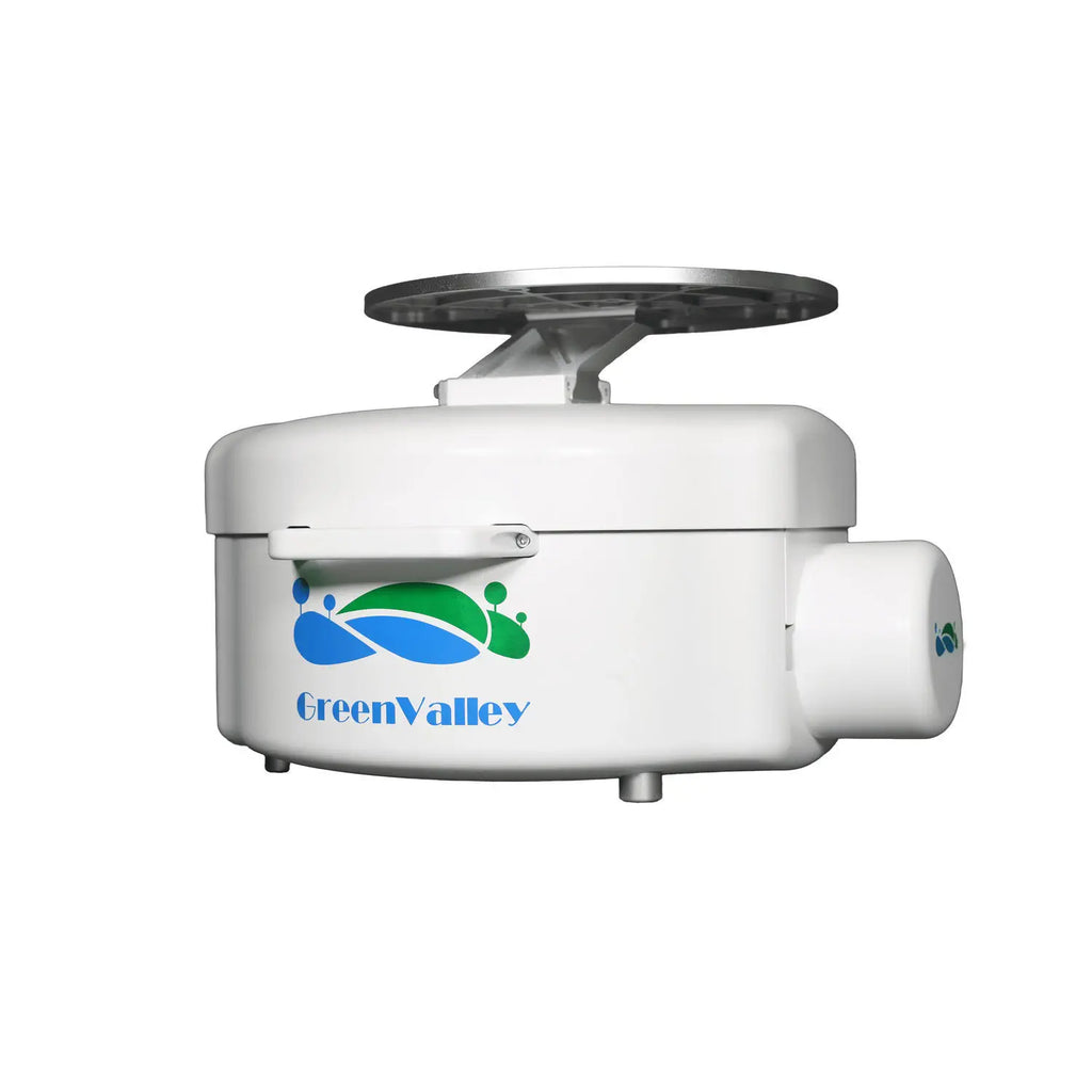
contact@measur.caThe GreenValley LiEagle is an advanced aerial LiDAR surveying system that has been specifically designed for large-scale and long-range 3D data collection projects. The system is crafted to be mounted onto a helicopter platform, and it features the highly precise Riegl VUX-1LR laser scanner combined with a best-in-class inertial measurement unit (IMU).
This cutting-edge system is particularly well-suited for projects that require mapping of terrain features beneath forest canopies and extracting structural parameters from forest LiDAR data.
The measurement accuracy of the LiEagle is at the centimeter-level, making it a perfect fit for civil engineering and critical infrastructure maintenance professionals who require high accuracy demands.
Moreover, the LiEagle has an optional high-definition digital camera module that is capable of producing photogrammetry products and true colour 3D point clouds during each LiDAR survey. With a resolution of 50 megapixels, this feature is an excellent tool for generating high-quality data.
|
Max. Measurement Rate 750,000 pts/sec |
Scan Range 1,350 m ( @Reflectance ≥ 80%) |
|
Scan Rate 10 Hz - 200 Hz |
Specifications
Laser Sensor: Riegl VUX-1 LR
Max. Measurement Rate: 750,000 pts / sec
Scan rate: 10 Hz -200 Hz
Field of view: 330°
Scan Range: 1350 m @ Reflectance ≥ 60%
System Accuracy:
Flight Height: 200 m
Horizontal Accuracy: < 10 cm
Vertical Accuracy: < 10 cm
POS System Performance: Attitude: 0.005 ° (1σ). Azimuth: 0.009° (1σ)
Weight Incl.Camera: 17 kg
Dimensions (Main Unit): 505 * 492 * 319 mm
Camera: Canon 5DSR
Acquisition Software: LiAcquire-VUX
Post-processing software: LiDAR360/LiPowerline