No Products in the Cart
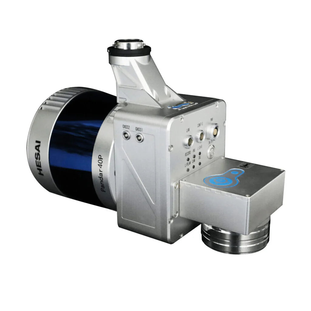
The LiAir 220N is a lightweight LiDAR survey instrument designed by GreenValley International (GVI) for use with UAVs or sUASs. This system utilizes a Hesai Pandar40P laser scanner and is one of the most cost-effective LiDAR systems in GVI’s LiAir Series.
With a focus on precision 3D surveying and mapping, this payload is compatible with DJI’s Matrice 600 Pro and DJI M300 RTK series platforms. The LiAir 220N is capable of producing highly accurate 3D point cloud data, making it an excellent option for various industries. Additionally, this system is equipped with a high-definition digital camera that can generate photogrammetry products and true colour 3D point clouds.
|
Range Accuracy ±2 cm
|
Weight
2 kg(Incl.Camera)
|
|
Specifications
Laser Sensor: Hesai Pandar40P
Range Accuracy: ±2 cm
Detection Range 100 m @ 10% reflectance
Channels: 40
Power Consumption: 27 W
System Accuracy: ± 5 cm
POS System Performance: Attitude: 0.008° (1σ) Azimuth: 0.038° (1σ)
Working Temperature: -20 ℃ - 40℃
Mounting Platform: DJI’s Matrice 600 Pro, M300 RTK
Camera (Optional): Sony A5100
Weight: 2 kg (Incl. Camera)
Dimensions (Incl. Camera): 234 x 100 x 181 mm
Acquisition/PP POS Software: LiAcquire Web & LiGeoreference
Field of View: 360° (Horizontal) 40° (Vertical)
Scan Rate: 720,000 pts (Single Return) 1,440,000 pts (Dual Return)