No Products in the Cart
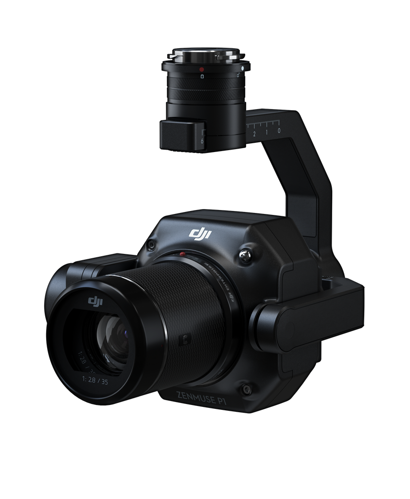

The Zenmuse P1 integrates a full-frame sensor with interchangeable fixed-focus lenses on a 3-axis stabilized gimbal. Designed for photogrammetry flight missions, it takes efficiency and accuracy to a whole new level.

The Benchmark for Aerial Photogrammetry
 |
 |
 |
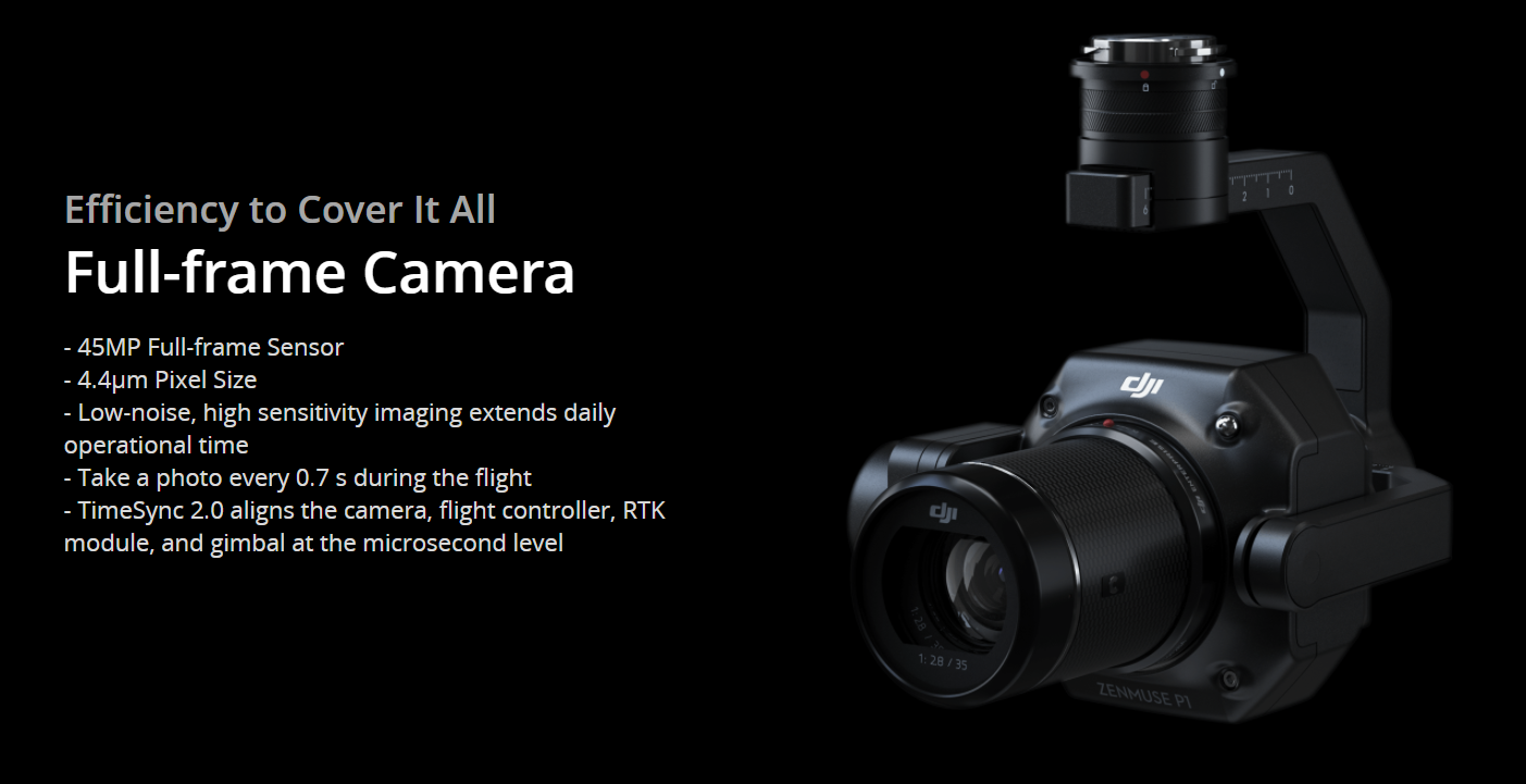
Extraordinary EfficiencyThe P1 includes a full-frame, low-noise high-sensitivity sensor that can take a photo every 0.7 s during the flight, and covering 3 km2 [2] in a single flight.
|
Remarkable AccuracyEquipped with a global mechanical shutter and the all-new TimeSync 2.0 system, which synchronizes time across modules at the microsecond level, the Zenmuse P1 lets users capture centimeter-accurate data combined with the real-time position and orientation compensation technology.
|
Robust VersatilityCreate 2D, 3D, and detailed models thanks to the integrated 3-axis gimbal that can be outfitted with 24/35/50mm lenses and the Smart Oblique Capture feature.
|

Smart Oblique Capture
Cover 7.5 km2 in a single workday with the P1. Elevate the efficiency of your oblique photography mission using Smart Oblique Capture, where the gimbal automatically rotates to take photos at the different angles needed. Only photos essential to the reconstruction will be taken at the edge of the flight area, increasing the efficiency of post processing by 20% to 50%.
