No Products in the Cart
[Webinar] ScoutDI: Revolutionizing Confined Space UTM Inspections. Register Now
Call Us: +1 866 300 9012
contact@measur.caCall Us: +1 866 300 9012
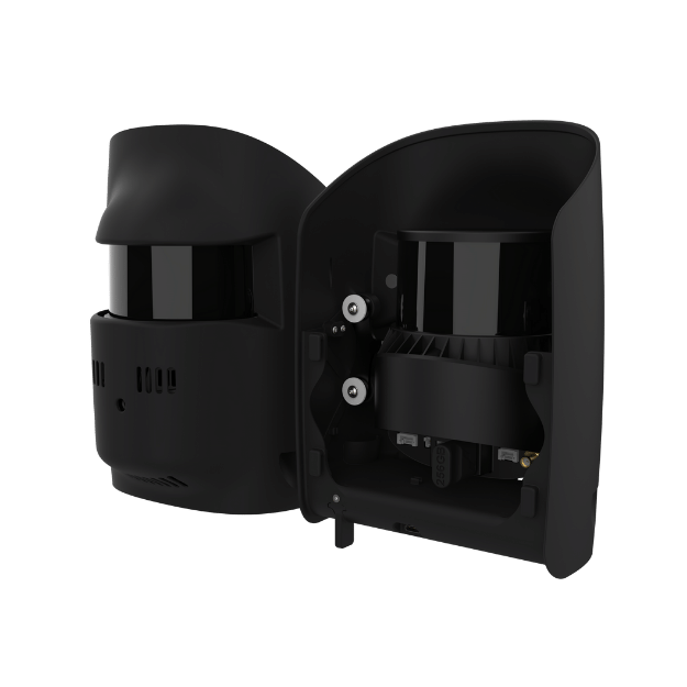
contact@measur.caThe Qube 640 LiDAR Scanner has been designed in collaboration with YellowScan specifically for Trinity Pro and Tactical drones, this specialized sensor revolutionizes aerial data collection. With a selectable FOV of up to 176°, it offers unparalleled versatility for capturing expansive landscapes and detailed structures.
With Trinity's advanced capabilities, the Qube 640 empowers users to achieve remarkable efficiency. Experience seamless corridor scanning spanning up to 32 km in a single flight, a feat previously unimaginable. At 120° FOV, productivity skyrockets by 50% compared to its predecessor, the Qube 240, ensuring maximum output with minimal effort.
Not just limited to productivity gains, this sensor excels in precision and accuracy. Enhanced vegetation penetration reveals intricate details of foliage and trunks with unmatched clarity. Vertical scanning applications are effortlessly facilitated, thanks to the new IMU which minimizes outer edge mismatches, ensuring precise data collection every time.
Furthermore, the integration of an 8MP RGB camera allows for simultaneous LiDAR capture and colorization during flight, streamlining data acquisition and enhancing the visual interpretation of your scans.
|
Flight Altitude 75m |
Flight Speed 18 m/s |
Area 170 ha |
Flight Time 42 min
|

|
 |
 |
 |
Technical Specifications |
Scanner: Hesai XT32M2X
GNSS Inertial Solution: SBG Quanta Micro
Integrated Camera: 8 MP (for colorization purposes)
Laser Range: 300 m
Precision: 3 cm
Accuracy: 2.5 cm
Scanner FOV: 176° x 40.3°
Shots per Second: 640 000 points/sec
Echoes per Shot: Up to 3
Center Point Density @100m: 34 -100 points/sqm
Max. Data Points generated: 1 920 000 points/sec