No Products in the Cart
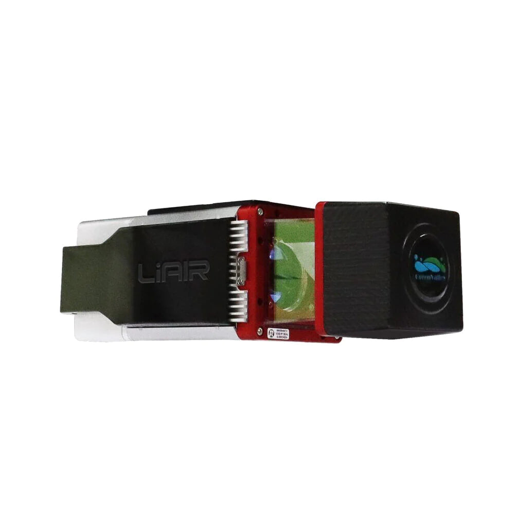
The LiAir 250 Pro is a LiDAR system designed for multi-rotor platforms such as the DJI M300 RTK. The system is both lightweight and capable of emitting multiple wavelengths. It comes equipped with a compact LiDAR system, an inertial navigation system, and a control system, which allow it to gather vast amounts of high-precision point cloud data and rich image information. Its ability to capture 3D spatial information makes it suitable for a variety of applications.
|
Range Accuracy ±15 mm |
Weight 2.0k(Incl.Camera) |
Scan Range 330 m @ 80% reflectivity
|
System Accuracy ±3cm@AGL 80m |
Weight: 2.0kg (+300g incl.camera)
Voltage: 12-32v
Ranging Accuracy: ±15mm
Scan range: 330m@80% reflectivity
System accuracy: ±3cm@AGL 80m
Camera: customized SONY 2430w camera (optional)
Laser sensor: Riegl miniVUX-3 UAV
Number of Echoes: 5
Scanning Field of View Angle: up to 360°
Scan rate: 200,000pts/s
Heading accuracy: 0.08°
Attitude Accuracy: 0.025°
IMU data frequency: 200hz
Preprocessing software: LiGeoreference (proprietary) & Pospac
Post-processing software: LiDAR360/LiPowerline (optional) LiMapper (optional)