No Products in the Cart
|
Typ. AGL Altitude |
System Precision |
System Accuracy |
Weight With Battery |
120 m |
2 cm |
2 cm |
1.8 kg |
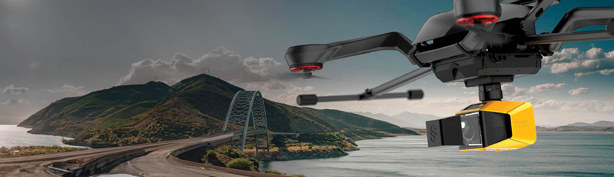
Mount on a light manned aircraft or several different UAV platformsThe YellowScan Explorer is the first LiDAR that can be mounted on a light manned aircraft or helicopter and be switched to a UAV platform like the DJI M300. This versality allows the end user to tackle a wide range of projects with the proven ease-of-use of YellowScan’s UAV LiDAR solutions.
|
|

With LEDs that indicate the LiDAR system’s status and its single button operation. As usual, we followed the “Just Press the Yellow Button” philosophy.
You don’t need to connect to your LiDAR system to gather data. Just remove the USB stick from the system and go to your computer. As you receive two USBs, this helps you land and take-off again straight away thanks to the second USB stick.
Survey productivity matters to us! With one USB stick you can store LiDAR data from a 6 hour-survey.
The Explorer has been optimized the temperature management with four suction grids (air flow management) combined with an innovative heat management inside for a better aeration of the system. You can operate the Explorer between -20°C/-4°F and +40°C/104°F.
A set of 2 worldwide certified batteries is shipped with the YellowScan Explorer. They are high-performance batteries that can easily be swapped in the field for increased productivity.
This user-friendly display keeps you informed about the system's status with ease.
Gathering data over an extended distance provides the advantage of covering a larger area during each flight, thereby facilitating the establishment and upkeep of digital replicas for your assets and project locations. The flight speed can range between 5 and 35 meters per second when flying at altitudes of up to 300 meters.
The Explorer now integrates a camera (global shutter) that can be used for colourization purposes.
1 x Hardshell backpack
1 x Explorer
4 x Batteries + 1 Charger
1 GNSS Antenna AV18
2 USB keys
YellowScan CloudStation
SBG Qinertia UAV - 1 Licence
Technical Support - 1 Year Unlimited
Warrantey
1 Year
1 x Remote healthcheck
Inperson or Online Training
Boresight Calibration Certificate
| General Characteristics | Specifications |
|---|---|
| Precision (1) | 2 cm |
| Accuracy (2) | 2 cm |
| Typ. flight speed | 5-35 m/s |
| Typ. AGL altitude | 120 m |
| Echoes per shot | Up to 5 |
| Laser Wavelength | 1556nm |
| Range | Up to 300m |
| GNSS-Inertial Solution | SBG Quanta Micro |
| Scanner Field of View | 360° |
| Shots per Second | Up to 500k |
| Scanning Frequency | 165 Hz |
| Integrated Camera | Global Shutter 2MP |
| Weight (Battery incl.) | 1.80 kg (without batteries) |
| Weight (Battery excl.) | 2.3kg (5.1lbs) |
| Size | L270 x W 118 x H 135 mm |
| Autonomy | 1.3 hours typ. |
| Power Consumption | 12-24 Vdc |
| Operating Temperature | -20 to +40°C |