No Products in the Cart

A multi-platform LiDAR for geospatial survey scanning from air to ground.
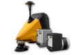
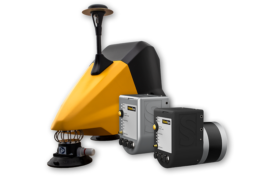
The YellowScan Fly & Drive is a versatile land vehicle-mounted or UAV-mounted mobile mapping system which combines high resolution laser scanning and precise positioning to collect geo-referenced point clouds for a wide range of applications.
Key Benefits
|
|

2-in-1 solution: UAV & MOBILE MappingSurveyor and Surveyor Ultra is suitable for mobile mapping with YellowScan Fly&Drive. This mobile mapping kit includes:
|
 |
|
|
|
YellowScan SurveyorThe lightest and most versatile YellowScan LiDAR solution. Key Differentiators: |
YellowScan Surveyor UltraProvides the highest point density from YellowScan’s product range. Key Differentiators: |