No Products in the Cart


| Feature | Zond Aero 1000 | Zond Aero 500 | Zond Aero LF |
|---|---|---|---|
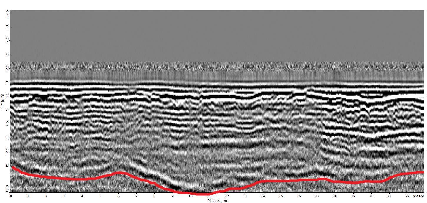
| Center Frequency | 1000 MHz | 500 MHz | 100, 150, 300 MHz |
| Max Depth | 2 meters | 4 meters | Up to 12 meters |
| Weight (Airborne) | 1.8 kg | 2.1 kg | 0.1 kg – 300MHz antenna |
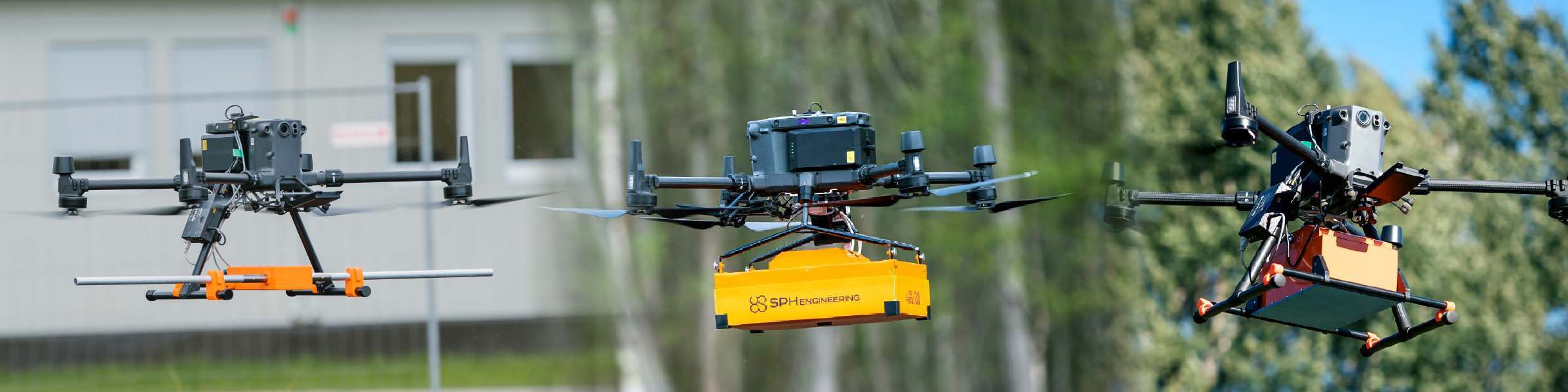
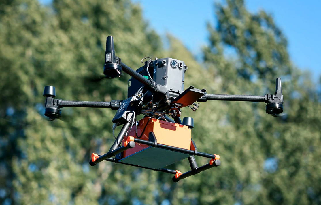
| Drone Compatibility | DJI M350 RTK, M300 RTK, and more | DJI M350 RTK, M300 RTK, and more | DJI M350 RTK, M300 RTK, and more |
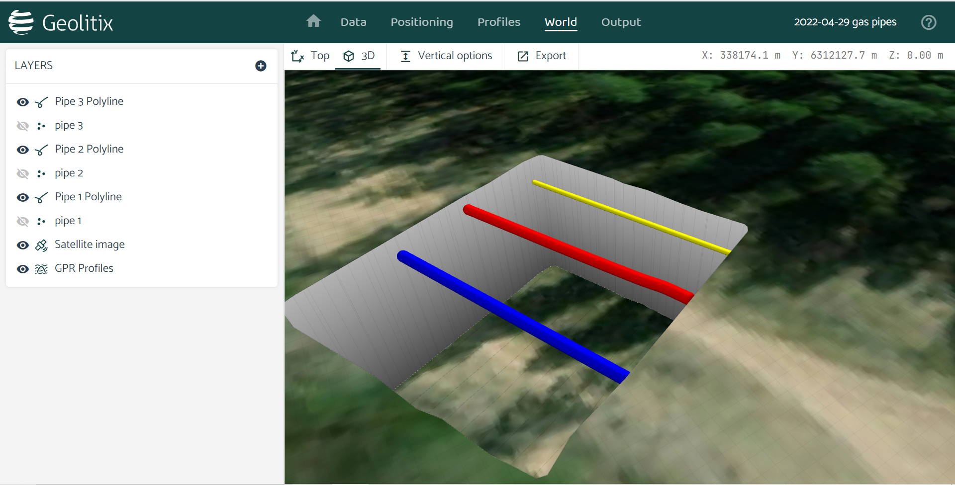
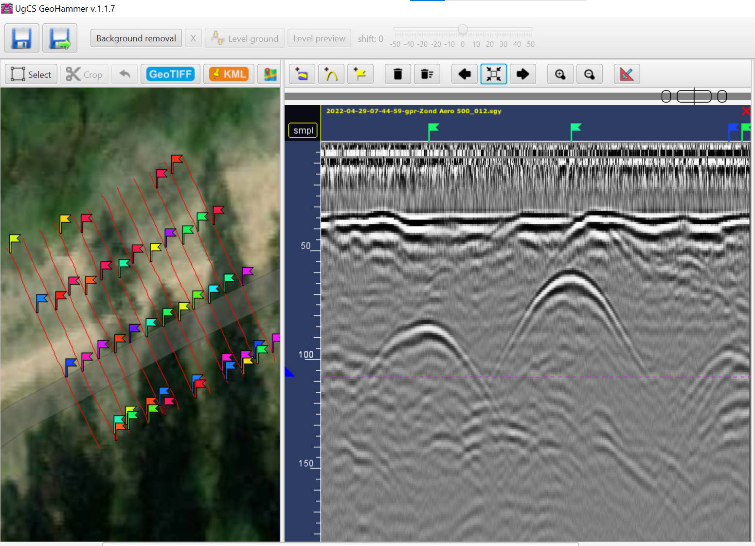
| Data Format | SEGY (.sgy) | SEGY (.sgy) | SEGY (.sgy) |
| Best For | Shallow, high-res surveys | Mid-depth, versatile surveys | Deep surveys, geological applications |

Give us a call or drop by anytime, we will answer all enquiries within 24 hours on business days. We will be happy to answer your questions.
We would love to hear from you! Our team is always here to help.
+1 866 300 9012
contact@measur.ca
Vancouver, British Columbia
Calgary, Alberta
Mississauga, Ontario
Montreal, Quebec

