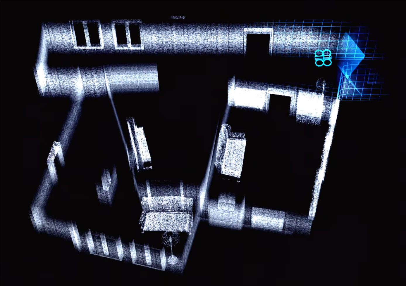
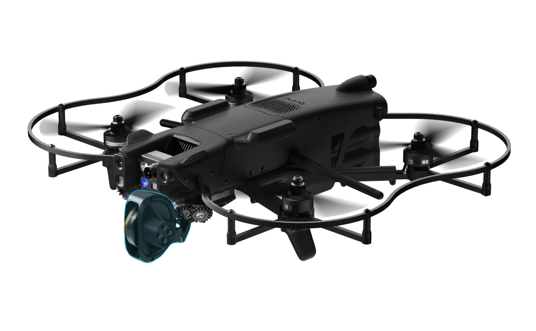
One of the primary advantages of SLAM LiDAR technology is its autonomy in GPS-denied environments. SLAM LiDAR can capture accurate data without relying on GPS, making it essential for mapping in enclosed spaces, underground sites, or areas with limited satellite visibility. This ability ensures that mapping can continue uninterrupted in places where GPS signals are weak or nonexistent.
SLAM LiDAR mapping also provides high accuracy and precision, combining SLAM algorithms with LiDAR technology to achieve survey-grade accuracy, often within a 5mm margin at a 1-sigma level. This degree of accuracy enables users to create highly detailed and reliable maps for various applications. Furthermore, modern SLAM LiDAR devices like the Exyn Nexys support real-time data processing and visualization, allowing users to view maps instantly and adjust scanning parameters as they go, optimizing data quality and efficiency.
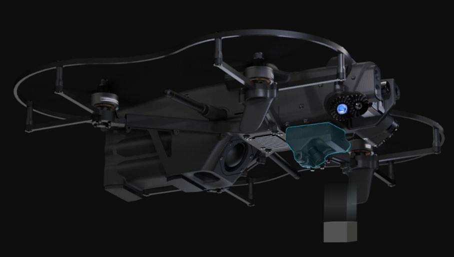
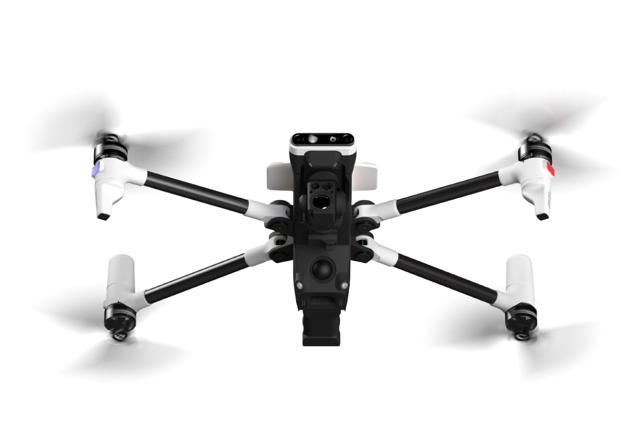
The versatility of SLAM LiDAR across multiple platforms is another key benefit. Whether mounted on handheld devices, backpacks, drones, or ground-based robots, these systems can adapt to various configurations. This flexibility allows a single device to be deployed across diverse mapping scenarios.
Discover How Exyn Nexys Transforms Construction Site Mapping and Management in this blog post

