No Products in the Cart
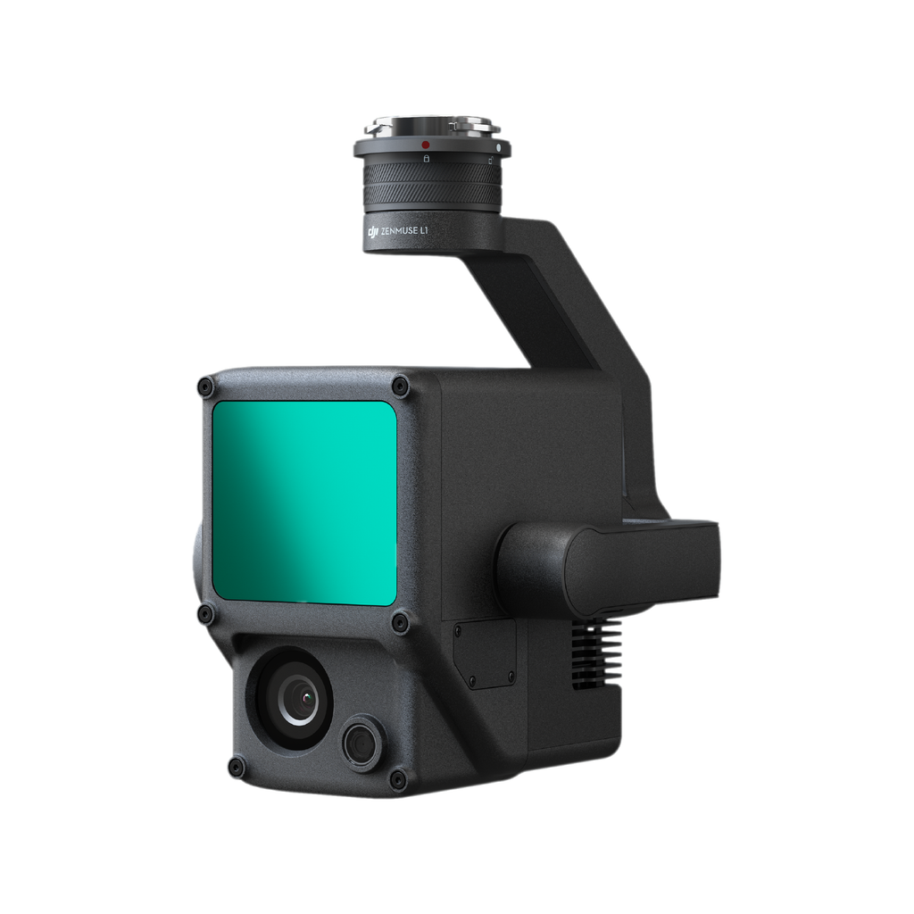

The Zenmuse L1 integrates a Livox Lidar module, a high-accuracy IMU, and a camera with a 1-inch CMOS on a 3-axis stabilized gimbal. When used with Matrice 300 RTK and DJI Terra, the L1 forms a complete solution that gives you real-time 3D data throughout the day, efficiently capturing the details of complex structures and delivering highly accurate reconstructed models
DJI's LiDAR and RGB solution for aerial surveying has finally arrived.

Digitize Without Compromise
 |
 |
 |
Exceptional EfficiencyGenerate true-color point cloud models in real-time, or acquire 2 km2 of point cloud data in a single flight [1] using the Livox frame Lidar module with a 70° FOV and a visible light camera with a 1-inch sensor.
|
Unparalleled AccuracyRender centimeter-accurate reconstructions thanks to the high-accuracy IMU, a vision sensor for positioning accuracy, and the incorporation of GNSS data.
|
Ready For Any JobThe IP44 rating allows the L1 to be operated in rainy or foggy environments. The Lidar module’s active scanning method enables you to fly at night.
|


Point Cloud Live View
Real-time point clouds provide immediate insights onsite, so operators are informed to make critical decisions quickly. You can also verify fieldwork quality by checking point cloud data immediately after each flight.
Measure and Annotate
Acquire and communicate critical dimensions on the point cloud model using measurements and annotations.
