No Products in the Cart
[Webinar] ScoutDI: Revolutionizing Confined Space UTM Inspections. Register Now
Call Us: +1 866 300 9012
contact@measur.caCall Us: +1 866 300 9012
contact@measur.ca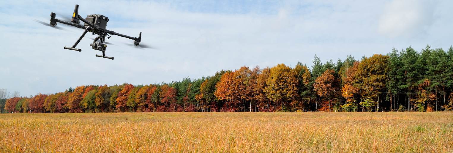
As the leaves begin to change colour and the air turns crisper, there's more to October than pumpkin spice lattes and Halloween decorations. It's also an ideal month to take a closer look at drone technology. Drones have come a long way in recent years, and October provides a unique set of circumstances that make it an ideal time to dive into this exciting innovation, especially in the following applications:

For those in the agriculture industry, October is a crucial month for harvesting crops and assessing field conditions. Drones equipped with advanced imaging technology can provide real-time data on crop health, helping farmers make informed decisions about irrigation, pest control, and harvesting. By adopting drone technology, farmers can maximize their yields and improve overall crop management. Especially when equipped with agriculture sensors like the Sentera 6X Multispectral Sensor and the 6X Thermal Sensor. These state-of-the-art sensors have been game-changers in crop health analysis, offering insights for agricultural professionals.
Both sensors are compatible with industry-leading drones, including the DJI M350 and the Freefly Astro, ensuring seamless integration and efficient data collection. This compatibility allows for faster data collection and more precise analytics, which can be further enhanced by leveraging Sentera's powerful machine learning platform to translate imagery into detailed insights.
As you gear up for the new year, evaluation advanced ag sensors in October will not only optimize your approach to agriculture but also set the stage for a more productive and data-driven start to the upcoming year. With the ability to capture both visual and thermal data, you'll gain comprehensive insights into crop health, enabling informed decisions that optimize crop management practices and ultimately improve agricultural productivity.
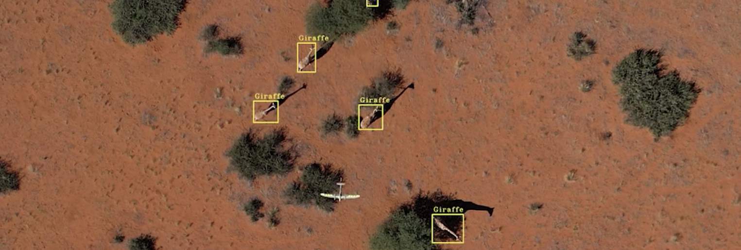
Many animal species are more active during the fall, making it easier to track their movements and behaviours from the air. Drones equipped with thermal imaging cameras help locate animals that are otherwise hidden by dense foliage, assisting in wildlife research and conservation efforts.
To enhance wildlife monitoring capabilities, the Trinity Pro plays a key role. This state-of-the-art drone packs cutting-edge technology, including the powerful Quantum-Skynode autopilot and a Linux mission computer. With increased internal storage and connectivity capabilities, the Trinity Pro seamlessly integrates with advanced cameras, logging systems, simulation software, and artificial intelligence tools, increasing the efficiency of wildlife monitoring.
The Trinity Pro stands out with impressive specifications such as a wind tolerance of 18 m/s, a flight time of up to 90 minutes, and a coverage area of 700 hectares. This drone is designed to gather precise data with ease and efficiency, ensuring that researchers can track and study wildlife with minimal disruption.
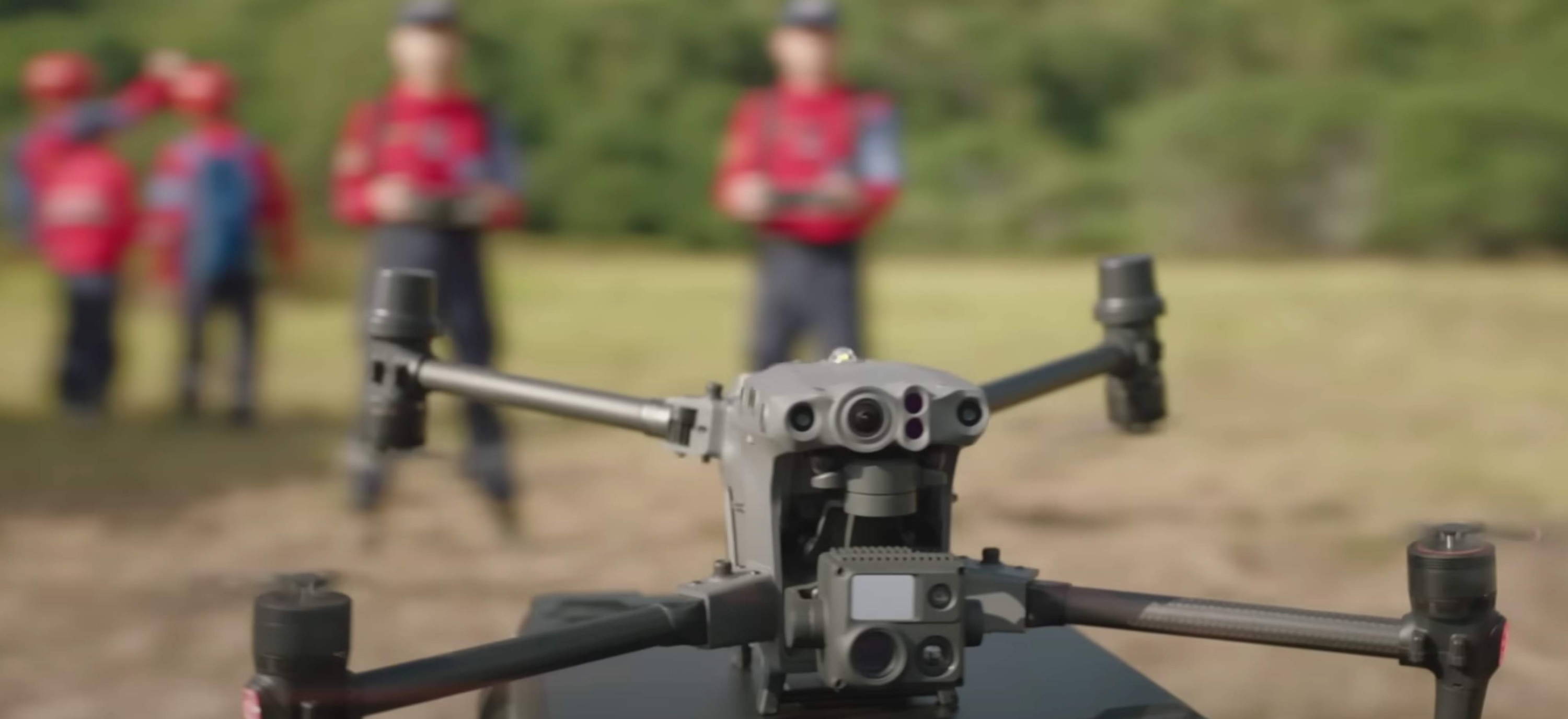
October can bring unpredictable weather conditions, such as early snowstorms or heavy rain, which can increase the likelihood of accidents or people getting lost in remote areas. Having a drone on hand can significantly aid search and rescue teams in locating missing persons and providing assistance in challenging terrain.
The DJI Matrice 30T is a prime example of a drone perfectly suited for SAR operations. Its robust flight performance and environmental adaptability make it an ideal choice. With an impressive 41-minute flight time, it can cover extensive areas efficiently. The drone's wind resistance, service ceiling of 7000 meters, and maximum speed of 23 m/s ensure it can navigate challenging terrains and rapidly changing conditions.
What sets the Matrice 30T apart is its capability to function in adverse weather conditions, thanks to its IP55 protection, allowing it to operate in temperatures ranging from -20°C to 50°C. This level of durability is vital during SAR missions where every second counts.
Moreover, the Matrice 30T integrates a range of cameras, including wide, zoom, and thermal cameras, along with a laser rangefinder. This versatility enables SAR teams to collect data in various formats, making it easier to locate and assist those in need.
As we prepare for the new year, adopting drones like the DJI Matrice 30T equips search and rescue teams with the advanced tools needed to save lives and support their operations and capabilities. Learn more about the world of public safety drones by exploring our blog featuring the top 5 drones specifically designed for these critical missions.