[Webinar] ScoutDI: Revolutionizing Confined Space UTM Inspections. Register Now

Call Us: +1 866 300 9012

contact@measur.ca

Call Us: +1 866 300 9012

contact@measur.ca
SHOPPING CART

No Products in the Cart

TOTAL:
$0.00

What Makes The Trinity PRO the Game Changer for Your Surveys

In a world where many drones are designed for surveys, the challenge isn't finding one – it's finding the right one. Amidst the myriad options, the real question emerges: how do you choose a drone that's not just an airborne system but an investment that yields tangible returns? Here, we explore the Trinity Pro, a mapping drone that stands out not for flashy marketing, but for its practical features.

In this blog, we describe what makes this mapping drone a valuable asset for precise, efficient. Let's navigate through the features that distinguish the Trinity Pro in the landscape of choices, discovering not just functionalities but the impact it can have on your bottom line.

Prioritizing Safety in Aerial Operations

At the heart of the Trinity Pro is the Quantum-Skynode autopilot ensuring the safety of every mission. Featuring automatic self-diagnostics, terrain awareness, wind simulation, and AI-powered "return to home" features, this technology guarantees that the Trinity Pro operates in the safest manner possible, even when faced with challenging conditions.

Effortless Takeoff and Landing

A game-changer in operational flexibility, the Trinity Pro takes off and lands like a helicopter but cruises like a plane. VTOL capability allows it to operate in any terrain without the need for a runway, minimizing harm to the drone and its sensors, thus extending the product life.

Extended Flight Time

The Trinity Pro's design prioritizes efficiency, featuring the longest flight time in its class of up to 90 minutes. Its ready-to-fly design, housed in a compact molded transport case, underscores its commitment to convenience, making it an asset for professionals on the move.

Versatile Payload Options

The Trinity Pro empowers operators with a versatile array of high-end cameras, including the Sony UMC-R10C, RedEdge-P, Sony RX1RII, Micasense Altum-PT, and an oblique D2M camera. These cameras ensure unparalleled image quality, with resolutions down to an impressive 1 centimeter.

Qube 240 LiDAR:
For survey-grade precision, the Trinity Pro integrates the Qube 240 LiDAR, offering over an hour of flight time with pinpoint accuracy. Boasting multi-echo technology and high point density, the LiDAR payload ensures detailed and reliable survey results.

PPK Capability

Enhancing positioning accuracy, the Trinity Pro features PPK (post-processing kinematics) capability. This technology significantly reduces positioning errors, ensuring centimeter-level accuracy in survey data. The included iBase reference GNSS base station further supports precise post-processing.

Intuitive Mission Planning

The Trinity Pro seamlessly integrates with QBase 3D, providing an intuitive platform for mission planning. Operators can define observation areas and mission parameters with ease, allowing for efficient flight paths with just a few clicks.

Fully Autonomous Missions and 3D Flight Planning

QBase 3D empowers the Trinity Pro with fully autonomous missions, including terrain following, corridor mapping, manual take-over, KML import, and offline maps. The 3D flight planning feature ensures optimal results for every survey.

Key Features

With a maximum take-off weight of 12.7 lbs, a flight time exceeding 90 minutes, and wind tolerance up to 18 m/s, the Trinity PRO stands as a testament to its reliability in diverse operational conditions.

Operating at an optimal cruise speed of 17 m/s, the Trinity Pro covers up to 20 times larger areas than rotary and other fixed-wing drones. Its small footprint and transport case ensure easy deployment to the farthest operation areas.

With a battery capacity of 10 Ah, the Trinity Pro boasts energy efficiency, supporting up to 10 hours on a single charge. Operating temperature range from -12°C to 50°C underscores its resilience in varying environmental conditions.

Webinar: Large Area UAV LiDAR Mapping: Trinity F90+ with Qube 240 Payload

Discussed in this webinar:
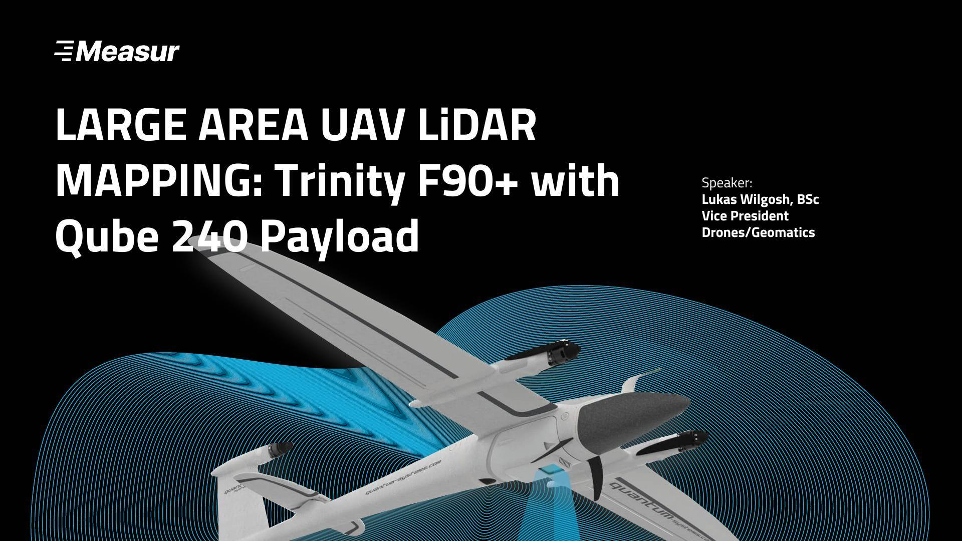
  • Trinity F90+ Overview

  • Qube 240/ LiDAR Overview

  • Qbase 3D Mission Planning

  • Processing workflow

    - Applanix POSPac

    - YellowScan CloudStation

  • Case Studies

  • In The Box/Pricing

The Trinity F90+ is the precursor to the new and improved Trinity PRO drone. Subscribe to our newsletter so you don't miss exclusive invitations for all our future webinars, including the Trinity PRO live webinar.

For industry leading technology within the commercial UAV drones, contact a member of our team today to find the right equipment for your application.

CONTACT US

Want to get in touch with us? Just fill out the form below and we'll get back to you ASAP.

BACK TO TOP